Description
Overview
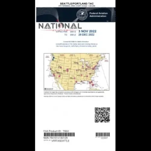
The Aeronav VFR Terminal Area Chart for the New Seattle Portland TAC region is now available. This map is essential for pilots because it provides wide and up-to-date information on the airspace and visual landmarks in this area. This TAC chart is your key to safe and well-organized navigation, whether you’re a local pilot or flying in from afar.
Navigate Safely
Use the Aeronav VFR Terminal Area Charts for the Seattle-Portland region to stay on top of your will. This TAC aero chart is your dependable companion for a safe and successful journey, whether planning local flights or exploring new routes.
Key Features
Up-to-Date Information
Our VFR Terminal Area Chart efficiently gives you the most up-to-date information on FAA airspace diagram, airport, and navigational assistance.
Detailed Coverage
These FAA Maps cover the Seattle-Portland TAC region, ensuring you have access to all the key facts you require for your flights in the NOS area.
Graphical Landmarks
This air space chart helps in Visual marker assistance to identify major objects of attention and increase your situational awareness while flying.
Airspace Info
To assure regulatory compliance, keep information on airspace classifications, altitudes, and communication frequencies.
Airport Data
Access wide data about airports in the Seattle-Portland area, such as runway lengths, altitudes, and services offered.
Emergency Information
In an emergency, our Chartarea includes contact information for search and rescue services, ensuring you have access to help when needed.
Specifications
Chart Type: Terminal Area Chart (TAC)
Region: Seattle-Portland
Scale: 1:250,000
Size: 20″ x 24″
Explore more from our collection.


Reviews
There are no reviews yet.